Eagan Water Monitoring, June 22nd, 2006

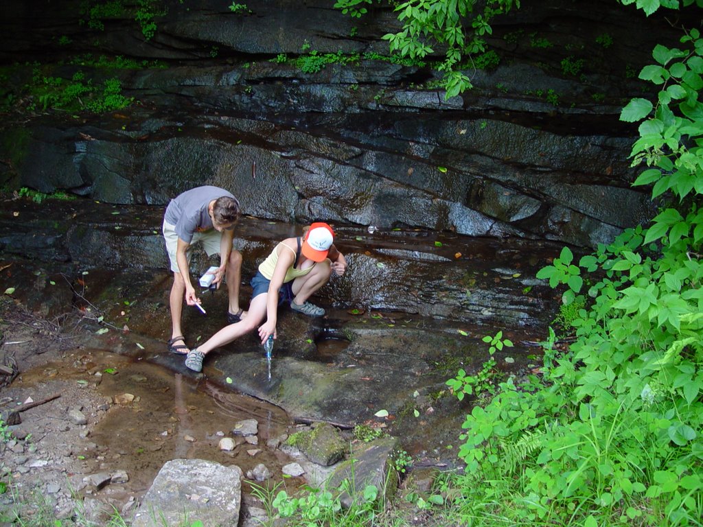
UMD Water Field Testing
all testing on this day strated in Rose’s Cr Community and moved into Prim Roy Rd in Eagan area
Date: 6/22/06
Site Number: A
Bottle Number: A
Mine/Landslide/site your scouting:
What Road are you on? Rose’s Creek rd at the T stop where Roy Willis Hill Rd Picks up, the first stream(Terry Branch) that goes under Rose’s Creek Rd
Physical characteristics of where you are testing near: dirt rd coming to a T where you can go right or left., small creek no more that 3 feet wide, tested above the culvert.
Between Mile markers: dirt road going up
GIS coordinates: N 36 deg 32.172’; W 083 deg 53.833’
Soil Smell: not noticable
Appearance of stream: low flow, clear with brown sediment, water skimmers, minnow, saw inch worm, garbage, sedimentation
Turbidity: clear
Temp:26 c
Any Plants that you can identify: grass surrounding banks
Conductivity: 240
Lab results for A
pH aquarium kit- 7.0
pH LaMotte- 8.0
phosphate LaMotte- 4.0
nitrate LaMotte- 1.0
Dissolved Oxygen LaMotte- 2
UMD Water Field Testing
Date: 6/22/06
Site Number: B
Bottle Number: B
What Road are you on? Roy Willis Hill Rd (no sign), but in the middle of where rose’s creek intersects)
Physical characteristics of where you are testing near: perpindicular to stream A, flowing down from higher up. Wet Weather-not perrenial, vegetation surrounds small stream, grasses, distchweeds
Between Mile markers: dirt rd
GIS coordinates: N 36 deg 34.383’; W 083 deg 59.980
Fish: Cray Fish
Soil Smell: not noticable
Appearance of stream: small stream
Turbidity: clear
Temp: 20 c
Any Plants that you can identify: ditchweeds
Conductivity: 180
Lab results for B
pH aquarium kit- 7.0
pH LaMotte- 8.0
phosphate LaMotte- 4
nitrate LaMotte- 1.0
Dissolved Oxygen LaMotte- 2
UMD Water Field Testing
Date: 6/22/06
Site Number: C
Bottle Number: C

Mine/Landslide/site your scouting: Teague moutn is East, Pine is to the North, King is South East, and Big Four mtn is to the South west
What Road are you on? Prim Roy Rd, off of Rose’s Creek,
Physical characteristics of where you are testing near: stream was on the left going up, and crossed a drive way, dirt rd., driveway to left was going upward
GIS coordinates: N 36 deg 34.304’, W 084 deg 00.240’
Time: 3:15 PM
Altitude: 1282 ft
Fish: frogs and minnows, algae
Soil Smell: not noticable
Appearance of stream: small flowing at a moderate rate, no more than 2 feet
Turbidity: clear with brown bottomed sediment
Temp:22 c
Any Plants that you can identify: cat tails, and those heart shaped single stocked green leaf shoots
Conductivity: 160
Lab results for C
pH aquarium kit- 7.5
pH LaMotte- 8.5
phosphate LaMotte- 4.0
nitrate LaMotte- 1.0
Dissolved Oxygen LaMotte- 2.0
UMD Water Field Testing
Date: 6/22/06
Site Number:D
Bottle Number: D
Mine/Landslide/site your scouting: Logging and Mining is happenng all around,, borders KY
What Road are you on? Prim roy rd
Physical characteristics of where you are testing near: the car wash at next to the bridge, larel Fork stream is the tested site, and it flows under the road.

GIS coordinates:N 36 deg 34.375’; W 84 deg 00.729
Time: 3:27 pm
Altitude: 1078
Appearance of stream:sedimented at the bottom, clear water
Turbidity: clear; 1
Temp:26.5 c
Conductivity: 360
Lab results for D
pH aquarium kit- 8.5
pH LaMotte- 9.0
phosphate LaMotte- 2.0
nitrate LaMotte- 1.0
Dissolved Oxygen LaMotte-3.0
UMD Water Field Testing
Date: 6/22/06
Site Number: E
Bottle Number: E
What Road are you on? On Prim Roy, going up past site D, a water fall on the left
Physical characteristics of where you are testing near: A small flow, wide water fall coming off of Teague and Pine Mtn (not sure which?), a big stone face, goes into stream under rd, and eventually empties into Laurel Fork
Between Mile markers: dirt back rd
GIS coordinates: N 36 deg 34.604’; W 084 deg 01.203’
Altitude: 1239
Soil Smell: musky smell
Appearance of stream:water fairly clear, water very low, sediment on the bottom
Turbidity: clear
Temp:19 c
Any Plants that you can identify: colts foot, jewell weed, wild hydrangia, wild ginger, crawly bugs, wormy bugs, hummingbird, witch hazel
Conductivity: 30
Lab results for E
pH aquarium kit- 6.5
pH LaMotte- 8.0
phosphate LaMotte- 1.5
nitrate LaMotte- 0.5
Dissolved Oxygen LaMotte- 2.0
UMD Water Field Testing
Date: 6/22/06
Site Number: F
Bottle Number: F
What Road are you on? Keep on going up Prim Roy from site E, next rd (which is a four wheeler path that goes back to more streams) a small creek is going under the rd off of Prim Roy.
Physical characteristics of where you are testing near:, dirt 4 wheel rd to the right. If you had kept on Prim Roy the Rd turns up toward the left
Between Mile markers: dirt rd
GIS coordinates: N 36 deg 34.667’; W 084 deg 01.628’
Altitude: 1322
Fish: tad poles, frog
Appearance of stream: cloudy with sediment at the bottom, still water barely flowing
Turbidity: cloudy water
Temp:16 c
Any Plants that you can identify: weeds, tall pointy grass, poison ivy, lots of vegetation,
Conductivity:150
Lab results for F
pH aquarium kit- 6.5
pH LaMotte- 6.5
phosphate LaMotte- 1.5
nitrate LaMotte- 1.0
Dissolved Oxygen LaMotte- 2.0
UMD Water Field Testing
Date: 6/22/06
Site Number: G
Bottle Number: G
What Road are you on? From route 90, go on Rose’s Creek to the start of Stave Gap at the mouth of Terry Branch- I think you go up Rose’s Cr. When you come to at the turn left, park at the first rd to your left. By foot, a stream- Terry Branch- is on the left side of the trail, follow till it comes into Laurel Fork cr, we took the sample right before Terry Brnch flows into Laurell Fork.

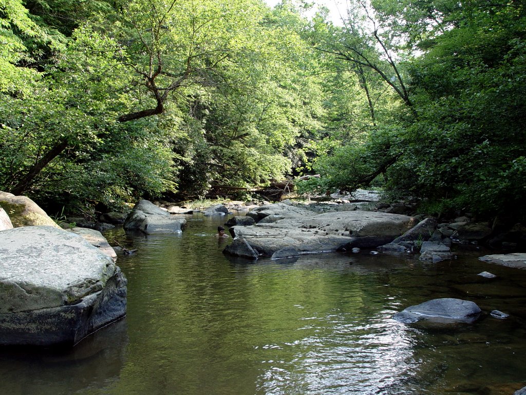
Physical characteristics of where you are testing near: water fall that goes into laurel Fork.
Between Mile markers: dirt, gravel rd, there are none
GIS coordinates: N 36 deg 34.674’; W 084.01.621’
Altitude: 1419
Fish: minnows, darters with black stripes onto the side(one on ea. Side)
Soil Smell: it smell goood
Appearance of stream: clear, no sediment
Turbidity:clear
Temp:19 c
Any Plants that you can identify: mosses, one scaly moss growing
Conductivity: 260
Lab results for G
pH aquarium kit- 8.5
pH LaMotte- 8.0
phosphate LaMotte- 1.5
nitrate LaMotte- 1.0
Dissolved Oxygen LaMotte- 3.0
UMD Water Field Testing
Date: 6/22/06
Site Number: H
Bottle Number: H
What Road are you on? Same directions as to G (this is Laurel Fork down stream of where Terry Branch dumps into)
Physical characteristics of where you are testing near: Wide Stream many rocks, water a foot lower than the wall mark moss growing on the rocks beautiful
Between Mile markers: off of a trail
GIS coordinates: N 36 deg 34.516(btwn .516 snd .519); W 084.01.621
Altitude: 1419
Fish: Lots of fish, one totally black, darters with black stripe on side, minnows, tadpoles, floating water bugs
Appearance of stream: Clear, fast flow, with still spots with fish, algae
Turbidity: clear
Temp: 26 deg C
Any Plants that you can identify: moss’s, wild yams
Conductivity: 370
Lab results for A
pH aquarium kit- 8.5
pH LaMotte- 9.0
phosphate LaMotte-
nitrate LaMotte- 0.0
Dissolved Oxygen LaMotte- 1.0
posted by petunia @ 4:05 PM
2 comments
![]()
